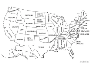
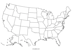
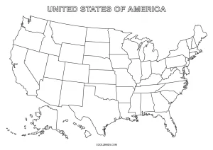
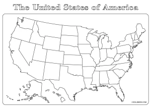
It’s a well-known fact that to do well in your Geography lessons, you need to be in love with maps. Make maps your best friend and the subject won’t seem half as difficult. And to offer some help in that regard, here are a bunch of fun printable US map coloring pages. Scroll down to take a look at the coloring sheets; they are a very useful tool for learning the names and locations of all the 50 states. On the other hand, the blank maps allow students to test their knowledge by putting down the names of the states while coloring. They can use one of the coloring pages with the state names to check their answers themselves.
These coloring pages can be a great classroom activity, where kids can have a friendly competition – whoever gets the most State names and locations right gets a prize!

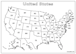
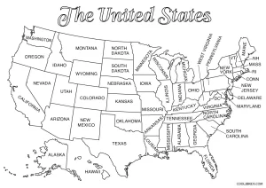
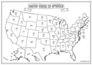
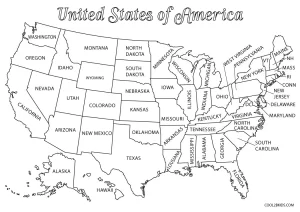


I wish all the state names were spelled out. My daughter is not going to know what Conn, RI, NH, or Mass stands for.
There are coloring sheets with the full state names too. She can do them. And learning the short forms of the states is also important, isn’t it?